2/23/13 update : under Miles Slattery comments, I had written a typo of 1oth St instead of Tydd St. I deeply apologize for this typo, and it’s been corrected. Thank you to RCAA for bringing this to my attention.
——————-
On February 9th, 2013 I did a ride along, with Humboldt Trails Council’s – Second Ships to Shores benefit ride. This particular ride featured speakers that would explain future developments of the Eureka waterfront trails projects. The included speakers were Miles Slattery whom is deputy director of Eureka public works, and Merrit Perry HTC board member.
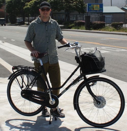
Kevin Wright speaking to group before leaving the Gazebo in Eureka.
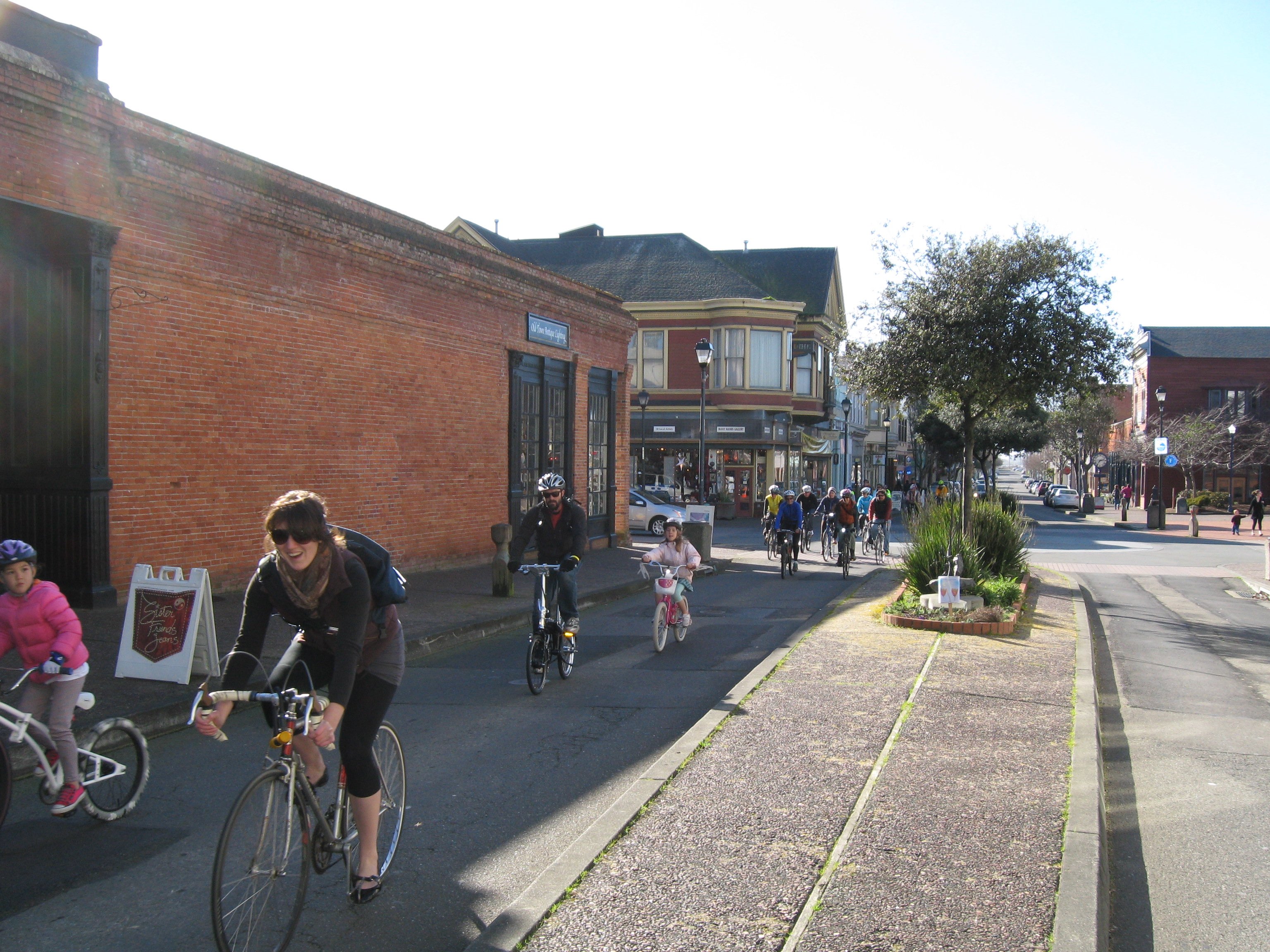
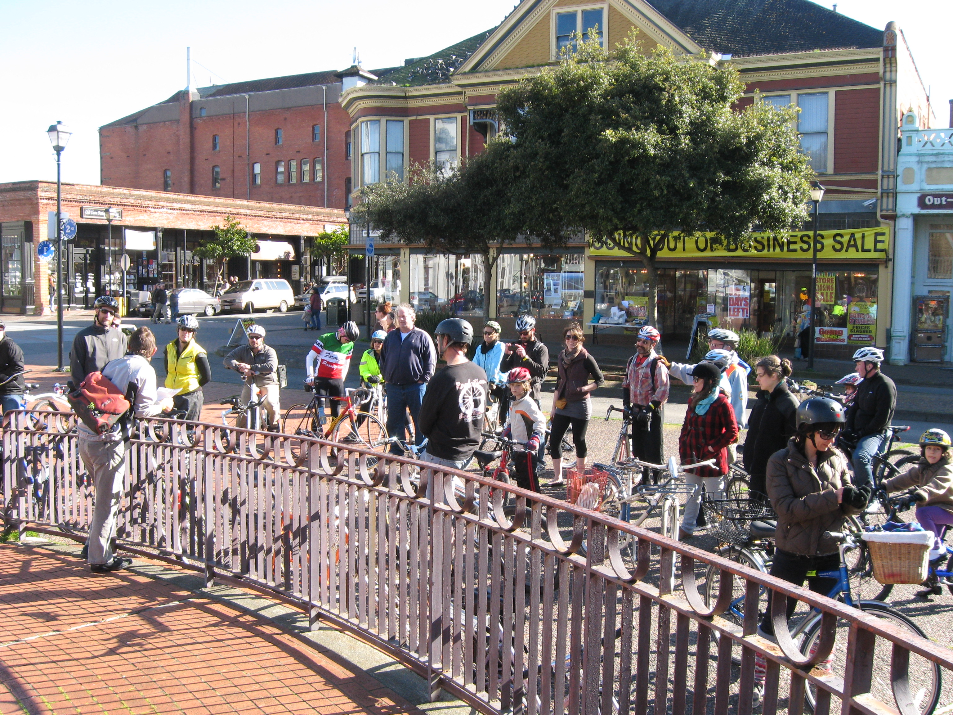
Here comes the gang heading north through Old Town.
One way to find out about these types of events is by visiting HTC on Facebook. Folks started to show up for this event around 2pm, and the tour began just before 2:30. To give a little background years ago Eureka created a trails committee that envisioned a 6.5 mile waterfront trail – spanning from southern Eureka up to the Target store area. As many of you know recently the Hikshari Elk River access trail was just completed on the southern end.
The Hikshari Trail ends at Pound road to the south, and Truesdale road to the north. This includes a total of 1.5 miles of constructed multi user paved trail. This project received funding from PG+E, California River Parkways, and Coastal Conservancy.
The HTC second ships to shore ride covered what was left in the remaining segments of the coastal trail. Our first stop on the bicycle tour was 1st and C streets, and Miles Slattery discussed the overall project. Below I have listed the power points of his presentation of what was left to complete this project in full.
- Next section of trail connecting with Truelsdale would be Palco marsh, and Del Norte. Currently 1.2 million dollars is ready for this project area – with most of money set aside for construction, and some for planning. Much of the environmental work has already been completed for this project area. So the 1.2 million dollars can be used to complete the plans, and construct trail.
- To continue into the next project area would be Del Norte to C street. 75% of the plans for this segment have already been completed, including the environmental work. The boardwalk begins at C street so this section above will tie into the current south end of boardwalk.
- Miles went on to say “city of Eureka just received a 90,000 dollars for the waterfront drive extension”. This is the next section that should begin construction, and CEQA is completed.

north end of current boardwalk, and location of G and R metals
- North end of boardwalk ends at G and R metals. G and R metals site was just cleaned up, and city needs to negotiate purchasing this property. The city envisions this property to have trail, parking lot, and a park area. This would connect boardwalk down to Adorni center.
- The city has funding set for the Waterfront connection, which is H street to Adorni center.
- The last part of the trail would be Halverson park to behind the Target store. This last section has city council approval for 100,000 dollars to get design, and environmental work completed.
- The city wants to continue a connection across the Highway 101, and over to
10th StTydd street(near intersection of Myrtle, West, and V streets). This will allow Myrtletown to have easy access to the coastal trail. - Every section of the trail has funding except for Halverson to
10th StTydd street. - It’s anticipated more trail construction will continue in summer of 2014.


Jen riding with her dog!
The second, and last stop on the future trail tour was behind the Target store. This time Merritt Perry spoke mostly of how the rail line north of the city could tie in with the Waterfront trail. Below you can read some of Merritt’s power points in his presentation.
- RCAA helped tremendously with Waterfront trail funding, and conceptual plans.
- a lot of momentum came up recently from the Bay trail advocates.
- determined railbanking was not allowed with NCRA – rail with trail policy only.
- Merritt(through his employer, Winzler and Kelly) did work recently for Humboldt County, to see how rail with trail would tie in with the Arcata project areas.
- So the most important rail line to look at first will be Eureka, X street to Bracut. As this will be a highly used commuter path for many users, and more Bay side access.
- Initial cost estimate from X street to Bracut was 8 million.
The challenge agencies are looking at now is how to best reduce the cost. The NCRA is considering partial use of corridor for a certain set amount of time. This will help reduce cost, and reduce the need to spend large amounts of money all at once. This example would be helpful for the Eureka slough bridge allowing us to use the rail line rather than building an expensive structure to the side of the bridge.
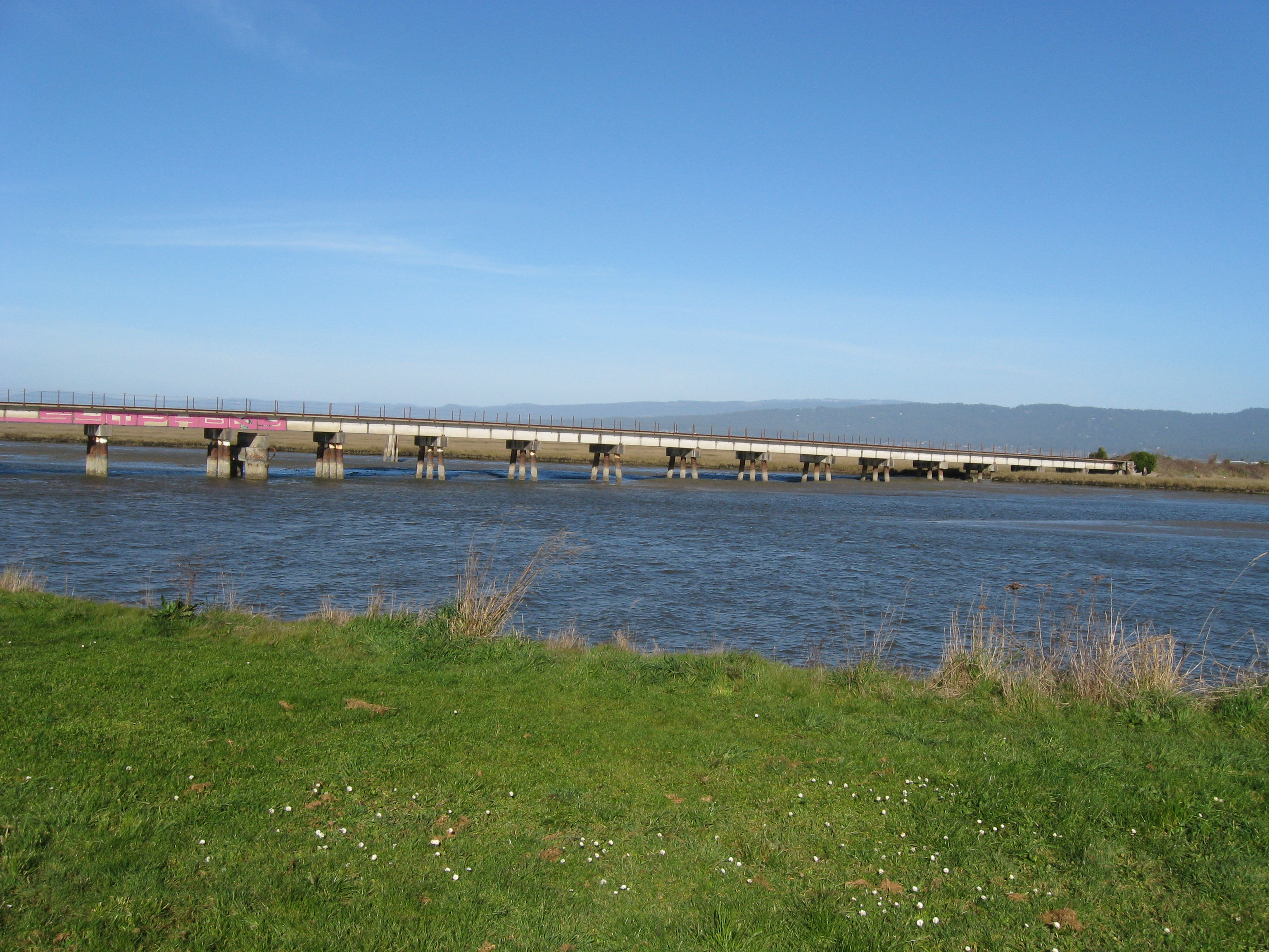
Eureka slough bridge
During construction many agencies shall be involved. An important element before construction begins is to find funding for maintenance, and operation costs. Define what responsibilities, and roles for each agency. Merritt wrapped things up with stating how important this was to our economy, and vital this project was to offering other forms of transportation/recreation. These trails will also help to build a more healthy community offering more opportunity for folks to get out, and be active with a larger trails network.
————————————————
In closing it seems as though we are slowly closing in on the works of a regional trail system along our coast. Don’t forget the Annie and Mary trail is also slowly moving forward! So we should all be excited, and take part however you can to help make these projects a success.